
Customer challenges
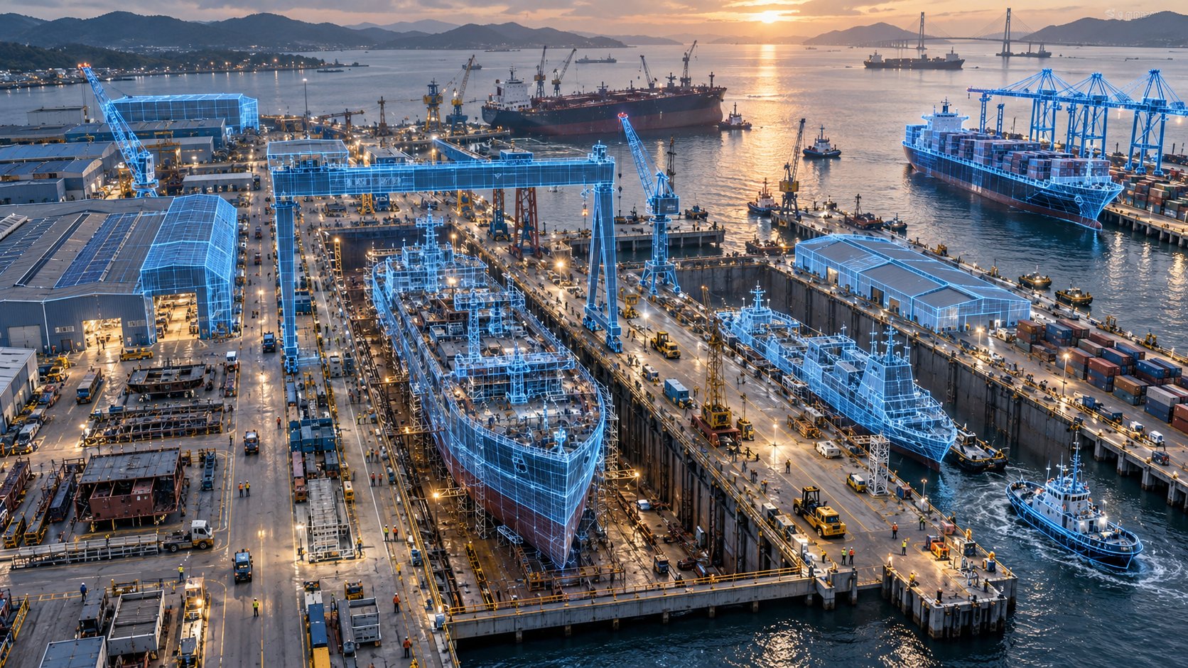
The yard is large, with slipways, storage, workshops, quays and waters spread out and no unified spatial view
Each system has its own base map, so events and positions cannot be compared in one picture
Camera placement is decided by experience, and the blind spots blocks create are found only after an incident or a missed detection
After rebuilding, new workshops or new quays, existing drawings and models fall behind
Rare violation and incident footage is scarce, making AI models hard to validate before deployment
Whole-yard digitalisation runs in phases and lacks a common substrate able to carry all of them
Existing 3D data is mostly design models, which differ from the yard as built
Customer benefits
One spatial view of the whole yard, replacing each system's own base map
Safety, progress and accuracy data compared in the same scene
Camera coverage can be validated before purchase, avoiding wrong buys and blind spots
A yard rebuild only needs the background rescanned, with other layers reused
The captured scene reflects the yard as built, not the ideal state of a design model
Every phase of digitalisation shares one substrate, so later additions need no rebuild
Browser based, so management and the safety office need no specialist software
Key features
Whole-Yard Scene
3D scanning builds a captured scene of slipways, block storage yards, fabrication and paint shops, cranes, quays and yard waters, with interior spaces included as required, and scene origin, coordinate reference and scale defined once and shared by every system.
Layered Asset Management
Manages captured background, equipment and vehicles, AI events and as-built geometry as separate layers that update independently, so a yard rebuild only needs the background rescanned, with version management and previous scenes retained.
Event & Asset Mapping
Maps camera positions and fields of view into the scene and locates safety violations, falls into water, block positions and deviation results together, with zoned rules and owners for stations, storage areas, hot work areas and quay exclusion lines.
Web 3D Viewer
Runs in the browser with rotate, pan, zoom and reset to default view, locates and follows a chosen block, crane or event, and provides layer toggles and event list switching.
Before & after
| Before | After — with Linker AI Nexa |
|---|---|
| Before No unified spatial view of the yard, each system with its own base map | After — with Linker AI Nexa A captured whole-yard scene with one coordinate reference shared by every system |
| Before Events and positions judged across different screens | After — with Linker AI Nexa Safety, progress and accuracy data shown side by side in one scene |
| Before Camera placement by experience, blind spots found afterwards | After — with Linker AI Nexa Coverage validated in the scene before installation |
| Before Drawings and models fall behind after a rebuild | After — with Linker AI Nexa A rebuild means rescanning the background only, other layers reused |
| Before Rare incident footage is scarce and models are hard to validate | After — with Linker AI Nexa Synthetic footage fills the gap in rare incident training data |
| Before Existing 3D data is a design model that differs from the yard as built | After — with Linker AI Nexa The scene reflects the yard as built and updates with construction |