Customer challenges
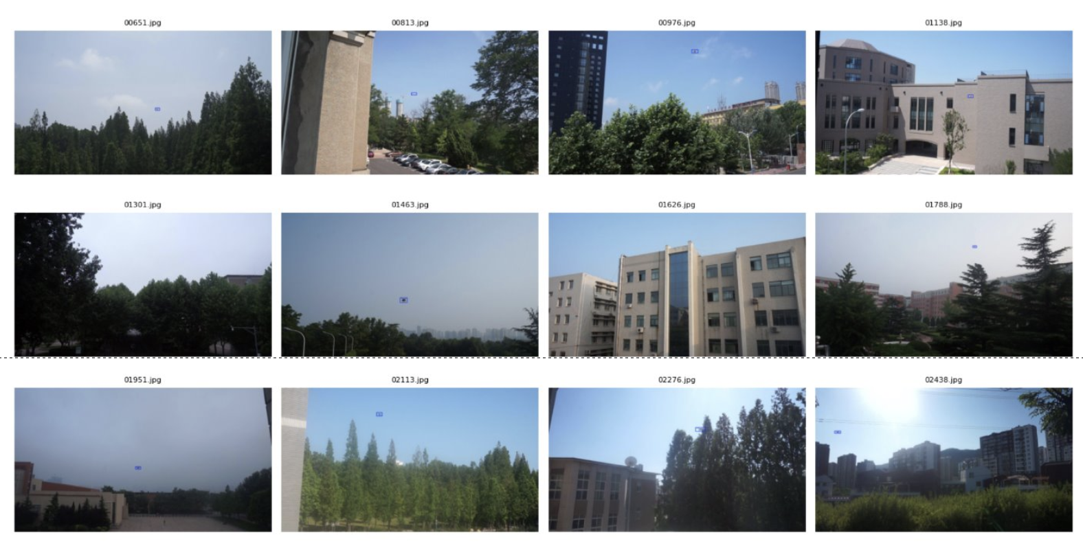
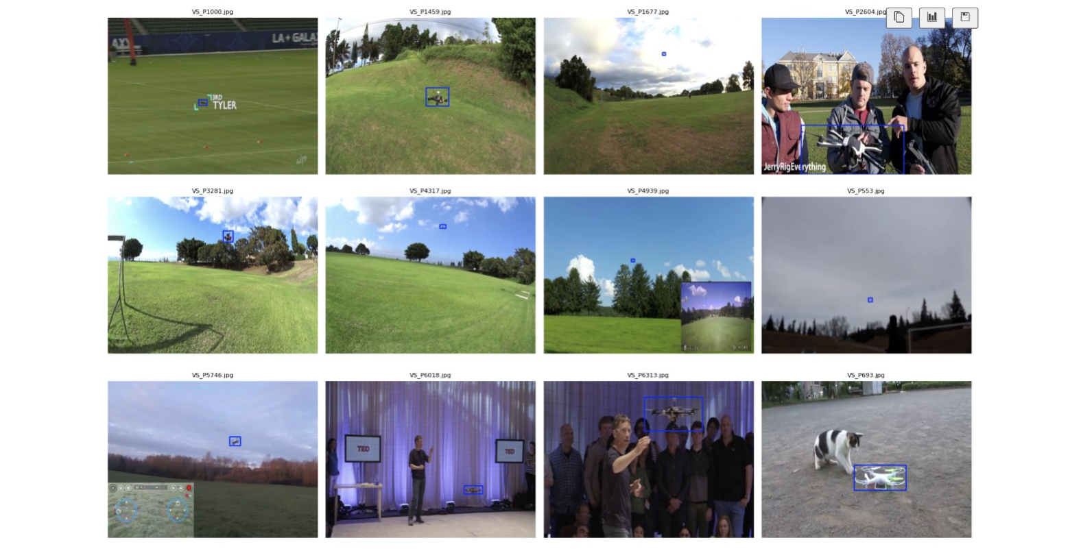
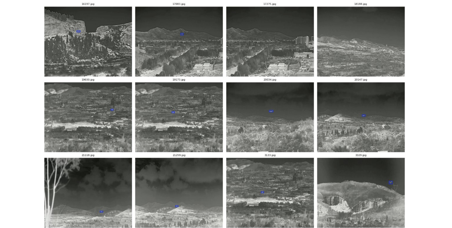
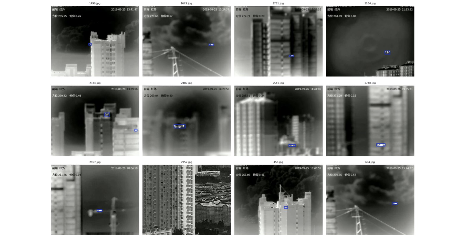
Unauthorised and FPV aircraft are increasingly appearing over ports, substations, depots, stadiums, and public events. Because these aircraft are small, fast, low-flying, and often assembled from unregistered components, detection systems that depend on the aircraft transmitting a signal can miss precisely the threats that matter most. In many cases, security teams only know an incursion occurred because someone happened to look up—leaving little evidence, no persistent track, and nothing actionable to hand off to responders.
Even when an airspace sensor detects the aircraft, the alert typically lives in a separate console: it tells a guard that something is overhead, but not whether a gate opened at the same moment, a perimeter was breached, or the aircraft is approaching a critical asset. Meanwhile, access control, perimeter sensors, gas and smoke detection, weather stations, and other site systems operate independently, with no common operational picture connecting what is happening **in the air** to what is happening **on the ground**.
The result is a fundamental visibility gap: detections arrive as sensor IDs and timestamps, while responders need **a location, a track, a direction of travel, and site context**. On a large or complex site, that picture cannot be reconstructed reliably from multiple consoles—or from memory after the event.
Customer benefits
Earlier threat detection. Unified situational awareness. Actionable evidence. Faster response.
Key features
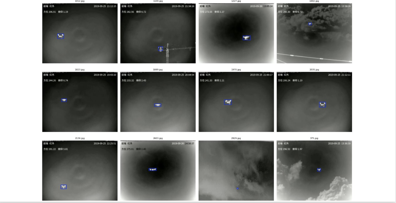
FPV / UAV Detection
Detects FPV drones and UAVs in the monitored airspace.
IoT Collaboration / Synergy
Fuses IoT device data with camera detection for collaborative sensing.
Field Digital Twin
Provides a digital twin of the field.
FPV Detection
Detects FPV aircraft in the field of view.
Before & after
| Before | After — with Linker AI Nexa |
|---|---|
| Before Drone incursions and ground-security events are detected separately—often manually—with limited spatial context, correlation, or evidence. | After — with Linker AI Nexa Aircraft are automatically detected and tracked, then correlated with ground-security systems in a live, unified spatial view of the site. |
More Scenarios